

Executive Overview
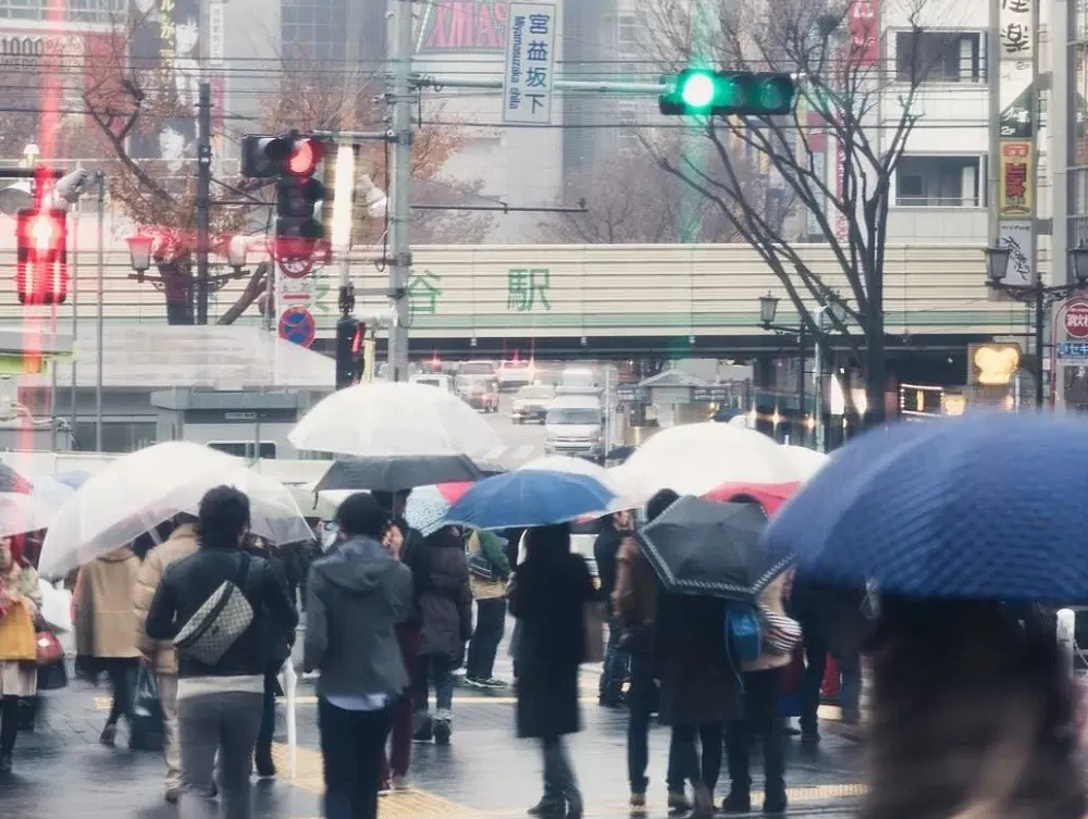
TOKYO — For residents of Japan’s bustling capital, the sky has become a seemingly permanent fixture of slate gray. As of late September 2026, Tokyo has officially logged an astonishing 34 consecutive days of measurable precipitation, obliterating long-standing meteorological records and plunging the region into a gloomy, waterlogged reality.
The last time the city experienced a completely dry calendar day was August 26. Since August 27, residents have woken up to rain, drizzle, or overcast skies every single day. This unbroken chain of wet weather has officially eclipsed the previous modern record of 33 consecutive days of rain, which was set during the early summer rainy season between June 27 and July 29, 2019.
More significantly, government records show that this is the longest continuous rainy streak Tokyo has suffered since the Japan Meteorological Agency (JMA) began systematically collecting official weather data in 1876. Because historical records prior to the Meiji era lacked modern standardization, meteorologists note that Tokyoites may be experiencing the longest stretch of persistent precipitation in the city’s recorded history—a climate anomaly not witnessed since the era of Emperor Meiji.
While the phrase "34 days of rain" evokes images of biblical floods, the reality on the ground is more insidious than a singular deluge. It is a war of attrition waged by low-hanging clouds, stubborn storm fronts, and a severe deficit of sunshine that is testing the psychological and infrastructural resilience of eastern Japan.
Detailed Chronology: How the Record-Breaking Streak Unfolded
To understand how Tokyo arrived at this historic meteorological milestone, one must trace the timeline back to the closing days of August.
The Turning Point: Late August
The streak began innocuously enough. August 26 marked the final summer day of clear skies and uninhibited sunshine in the capital. By August 27, a shifting weather front began to drop moisture over the Kantō region. Initially dismissed as a routine late-summer weather shift, the precipitation refused to dissipate.
As days turned into weeks, the atmospheric blockages holding the rain clouds over eastern Japan solidified. By mid-September, local meteorologists realized that a seasonal quirk was turning into a historic endurance test.
Breaking the 2019 Record
By the third week of September, the continuous rainfall had already surpassed the infamous 33-day streak of 2019. Unlike the 2019 event, which occurred during the traditional tsuyu (early summer rainy season), this prolonged deluge has swallowed the late-summer and early-autumn transition periods—a time when Tokyo typically enjoys refreshing blue skies, gentle breezes, and preparation for autumn festivities.
Instead, residents have been subjected to an unrelenting parade of damp conditions, kept alive by a succession of offshore weather systems that refuse to clear the archipelago.
Supporting Context & Metrics: The Science Behind the Deluge
To contextualize this extreme weather event, climate scientists and meteorologists have pointed to a convergence of unusual meteorological factors, primarily driven by anomalous typhoon activity in the western Pacific Ocean.
The Typhoon Confluence
Typically, Tokyo’s heaviest rains occur during the early summer tsuyu front. While late August and September are known typhoon seasons, eastern Japan usually enjoys significant respites between storms. Storms generally form far out at sea, sweep up from the southwest, and lose much of their moisture and kinetic energy as they cross Honshu, Japan’s main island, leaving Tokyo (situated on the eastern coast) relatively sheltered.
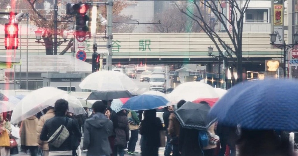
The autumn of 2026 rewrote this script. Three distinct tropical systems conspired to lock moisture over the region:
- Typhoon 24 (Tropical Storm Krovanh): Lingeried near the Japanese coast, pumping continuous moisture inland.
- Typhoon 25 (Typhoon Dujuan): Maintained structural strength as it tracked close to the islands, sustaining wet weather well into September.
- Typhoon 26: Though it ultimately tracked away from making direct landfall on Japanese soil, its vast outer rain bands swept across eastern Honshu, effortlessly extending the historic streak.
Starved of Sunlight: The 40% Deficit
A crucial nuance of this 34-day streak is that it does not mean torrential downpours have flooded the streets 24 hours a day for over a month. Rather, it signifies that measurable precipitation has been recorded every single calendar day.
However, the lack of heavy downpours in some areas does not mean the weather has been pleasant. According to statistical data from Weather News, Tokyo has received only about 40 percent of its normal September sunlight quota in 2026. The psychological and agricultural impact of this severe light deprivation has been profound, transforming the capital into a monochromatic landscape of umbrellas, dehumidifiers, and indoor confinement.
Official Statements and Meteorological Analysis
Government and private weather agencies have stepped up monitoring efforts as the streak continues to stretch into uncharted territory.
In briefings released by the Japan Meteorological Agency and private forecasting networks, experts have underscored the rarity of the atmospheric positioning responsible for the phenomenon. "We are witnessing a persistent stationary front pattern that is exceptionally unusual for this time of year," noted a senior forecaster. "The jet stream positioning has effectively acted as a shield, preventing dry continental air masses from sweeping in to clear out the stagnant maritime moisture."
Public health officials have also issued advisories regarding the prolonged dampness. With humidity levels remaining exceptionally high for weeks, concerns over mold proliferation in homes, food preservation, and mental health strain due to lack of natural sunlight have prompted widespread media coverage. Commuters, meanwhile, have grown weary of eternal transit delays, slippery train platforms, and the relentless logistical headache of managing wet gear day after day.
Future Outlook: When Will the Rain Stop?
For a populace exhausted by over a month of continuous gloom, the primary question remains: When will the sun return?
According to current meteorological projections, there is finally a tangible light at the end of the tunnel. Forecast models indicate that the high-pressure systems currently pushing across the continent are successfully dismantling the stagnant rain front.
If current predictions hold, Tokyo is projected to break its 34-day streak on October 1, with forecasts calling for crisp autumn sunshine accompanied by only scattered late-afternoon clouds.
However, meteorologists offer a note of cautious reservation. The relief remains entirely dependent on the trajectory of Typhoon 26. Should the storm system shift unexpectedly as it accelerates eastward into the Pacific, its trailing outer bands could deliver a surprise eleventh-hour downpour, threatening to stretch the unprecedented streak even further into October.
For now, Tokyoites continue to keep their umbrellas close at hand, eyeing the autumn skies with a mixture of cautious optimism and the weary realization that they are living through a chapter of the city’s weather history that will be talked about for generations to come.









Belum ada komentar. Jadilah yang pertama berkomentar!